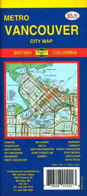
Vancouver Metro City GM Johnson Map
Description:
This folded street map covers the Vancouver Metropolitan area from Horshoe Bay to Tsawassen ferry terminal and the US border line at Point Roberts from the north to the south; and it reaches to Maple Ridge and Aldergrove in the east. Included is a more detailed inset map of Downtown Vancouver at scale 1:20,000 and a comprehensive place name index.
Revised edition 2011

