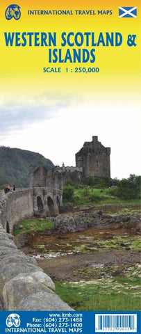
Western Scotland & Islands ITM Travel Map 1e
Description:
Folded map, scale 1:250 000. Side 1 concentrates on the Hebrides islands, providing detailed coverage of Mull, Coll, Tiree, Rum, Skye (which is now connected to the mainland by a bridge), Uist, and Lewis. Ferry routes to the Isles are also included. The second side of the sheet covers the southern islands and peninsulas of Islay, Jura, Knapdale, Kintyre, and Arran as well as the Glasgow/Edinburgh urban areas simply because they are there and Scotland isn’t all that large in area.
Updated edition Jul 2023

