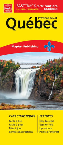
Quebec Province Fast Track MapArt Map
Description:
The Québec Province FastTrack includes provincial maps at 1:1,365,000, 1:588,000, and the full province of Québec at a scale of 1:12,660,000. A map legend and community name index are also included.
The provincial map features include divided highways, Trans-Canada Highway, paved & loose surface major roads, secondary roads and other roads, forestry roads, railways, distances between points (km), ferries, airports, hospitals, tourist information centres, international and provincial boundaries, parks / historic sites, wilderness reserves, campgrounds, downhill skiing, picnic sites and service centers.
Updated edition 2023

