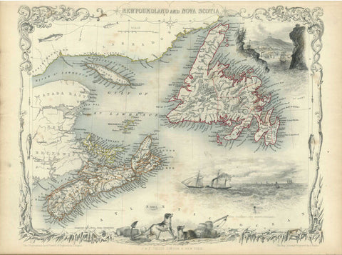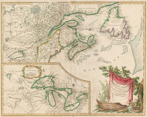
Eastern Canada & Great Lakes, Robert de Vaugondy, 1799
Description:
SHIPPING IS NOT INCLUDED - Please contact for a quote.
ORIGINAL ANTIQUE MAP
“Partie De L'Amerique Septent? Qui comprend La Nouvelle France ou Le Canada”
Mapmaker / Publisher: Robert de Vaugondy
Date: 1799 published
Size: 25" x 19"
This is an attractive map of Nova Scotia, Newfoundland, and the entire course of the St. Lawrence River. The most prominent feature of the map is the very large inset of the 1744 Bellin version of Great Lakes. The wonderful cartouche features the title on a blanket draped over a wooden canoe, with a fierce beaver depicted on the shore. This is the fourth state of the map.
Certificate of Authenticity is provided.
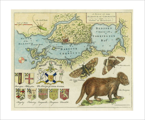
We think you may also like...
-
 $2,100.00