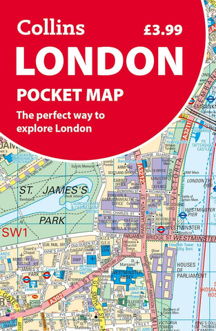
London Collins Pocket Map
Description:
Clear mapping from Regent’s Park in the north to Kennington in the south, and Kensington Gardens in the west to Tower Bridge in the east at a scale of 1:12,500 (5 inches to 1 mile). Maps of West End shopping and theatres are also included.
Ideal to take with you on your journey, this map is excellent value and very detailed for its size. Covering the most visited area of central London, this is an essential buy for tourists and residents alike.
Updated edition May 2025