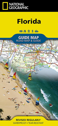
Florida State Travel Map
Description:
Waterproof - Tear-Resistant - Travel Map. Coverage is unparalleled with one large road map encompassing the entire state and several detailed city and metropolitan area inset maps, including Jacksonville, Miami, Tampa-St. Petersburg, Orlando, Tallahassee, Fort Myers-Cape Coral, Gainesville, Melbourne-Kennedy Space Center, Dayton Beach, Pensacola, Panama City and Key West. Pinpointed are hundreds points of interest, national and state recreation lands, campgrounds, visitor centers, airports and hospitals. Map Scale = 1:1,584,000
Updated edition Jun 2022

