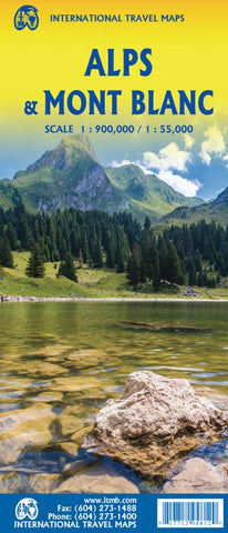
Alps & Mont Blanc ITM Map 1e
Description:
Folded double-sided road map with The Alps region on one side at scale 1 : 900,000 * Mont Blanc range is covering other side of the map at scale 1 : 55,000 * Contour lines illustrate relief on the map * Legend includes highways, roads, trails, pathways, cable cars, national parks, camping sites, waterfalls, viewpoints, hiking, skiing, museums, castles, churches, and more.
Updated edition Jan 2023

