Description:
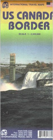
The Canadian/US border is the longest single border in the world between two countries. It stretches from the southern end of Vancouver Island eastward to Nova Scotia/New Brunswick, has dozens upon dozens of border crossings and stretches for about 5,000 kilometers or is it miles? Regardless, it is long, but more importantly, since 1815, it has been promoted as the longest undefended border in the world.
This map is double-sided and shows the border states and their provincial counterparts, starting with British Columbia and Washington/Idaho/Montana for about 150 miles on either side of the actual border, and carries on eastward through the Prairie/Midwest region, before dipping south to encircle the Great Lakes region, before terminating with New York City at the southern extreme and most of New Brunswick/Maine in the northeast.
Updated edition Oct 2011