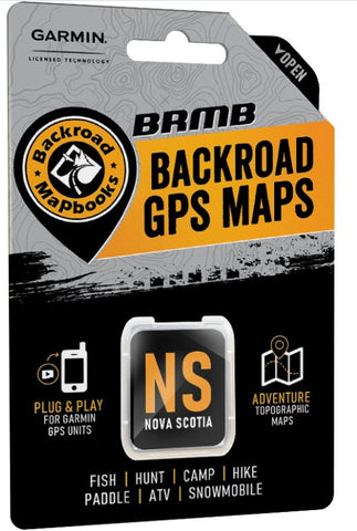
Nova Scotia Backroad GPS Maps
Description:
- Designed for industry use and outdoor recreationists, this product combines all of Nova Scotia into one Backroad GPS Map.
- Close to 100,000 km of our backroads network combined into one map, including almost 50,000 km of routable roads.
- Nova Scotia Crown land areas for anglers, campers and hikers.
- Marked Deer Management Zones (DMZs) and Moose Management Zones (MMZs) for hunters.
- Address Search makes navigating easier than ever.
- Thousands of kilometres of ATV Trails, snowmobile routes, multi-use hiking, biking and cross-country skiing trails with marked trailheads.
- Over 600 km of new paddling routes for canoers and kayakers with access points and portages in Version 2019.
- Thousands of fishing hotspots, parks and conservation areas, campsites, hunting areas, winter recreation areas and more.
- Over 14,500 land and water geographic features.
- Enhanced cartography for improved display of parks, conservation areas, Crown land, creeks and activity Points of Interest.
- Improved snowmobile route lines, First Nations reserve coverage and railway corridor mile markers.
Released: 2021
Dimensions: Micro SD card
Map Scale: 1:10,000 & 1:50,000 scale TOPO Maps
Regional Cities/Parks: Province of Nova Scotia