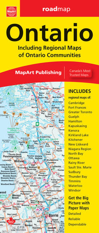
Description:
Ontario folded map includes a detailed provincial road map of Southern Ontario at a scale of 1:800,000 and Northern Ontario at a scale of 1:1,725,000, community index, legend, regional maps at 1:250,000 of Cambridge, Fort Frances, Greater Toronto, Guelph, Hamilton, Kapuskasing, Kenora, Kirkland Lake, Kitchener, New Liskeard, Niagara Region, North Bay, Ottawa, Rainy River, Sault Ste. Marie, Sudbury, Thunder Bay, Timmins, Waterloo, Windsor and an Ontario distance chart.
Features include Trans-Canada highway, highways and roads, interchanges and exits, railroads, distance between points (km), ferries, carpool parking, border crossings, airports, hospitals, tourist information centers, provincial boundaries, international boundaries, populated places capital, national park / historic sites, provincial parks, campgrounds, ski areas and points of interest and more.
Updated edition 2023
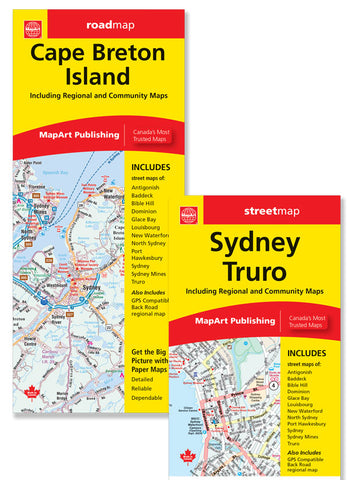
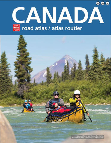
We think you may also like...
-
 $14.95
 -
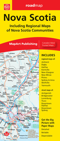 $7.95
$7.95 -
 $19.95