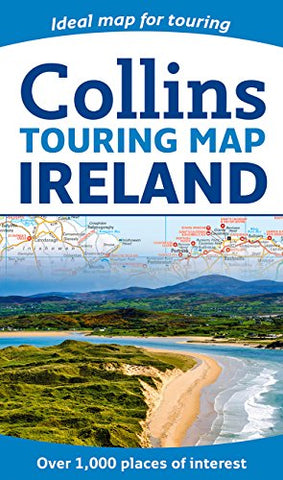
Ireland Collins Touring Map
Description:
Large full colour Collins map of Ireland showing the road network in detail, and with a special emphasis on places of tourist interest. This map has a handy touring scale of 7.5 miles to 1 inch (1:475,200). It has over 20 categories of tourist information depicted on the map with clear, colourful red and yellow symbols. There is a full index to place names and places of interest.
• All classified and most minor roads
• Railway network and ferry routes
• Viewpoints and sandy beaches
• Speed enforcement zones and safety camera locations
• Index to 20 categories of tourist information
• Includes castles, historic houses, gardens, beaches and golf courses
Updated edition May 2019
We think you may also like...
-
 $14.95
 -
 $19.95
 -
 $7.95
$7.95