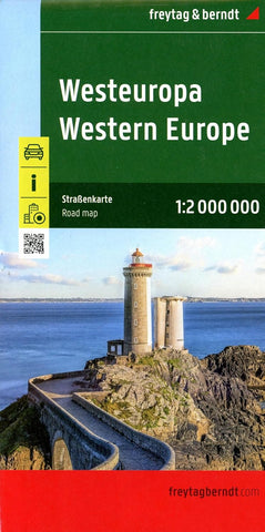
Western Europe FB Travel Map
Description:
Western Europe at 1:2,000,000 from Freytag & Berndt, with coverage extending from the British Isles to Denmark, the western half of Germany, Switzerland and north-western Italy, with street plans of nine capitals in an index booklet. Relief shading shows the topography and names of many mountain ranges, particularly within the Alpine areas, are indicated. The map shows road and rail network at the level appropriate to its scale, clearly indicating on main routes their road numbers, including where appropriate the E-numbers.
Updated edition 2024