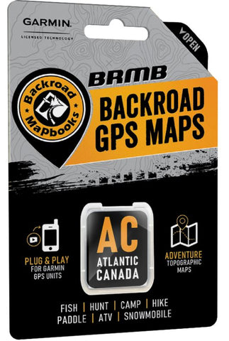
Atlantic Canada Backroad GPS Maps
Description:
- Combining day-to-day navigation with enhanced outdoor recreation information, this product combines all of Atlantic Canada into one Backroad GPS Map, from New Brunswick to Nova Scotia, Prince Edward Island, Newfoundland and Labrador.
- Over 308,000 km of our backroads network combined into one map, including over 113,000 km of routable roads.
- Labelled Crown Land for all of Nova Scotia and New Brunswick.
- Address Search makes navigating easier than ever.
- Marked Cariboo Management Areas, Deer Management Zones, Moose Management Areas and Wildlife Management zones for hunters.
- Thousands of kilometres of ATV Trails, snowmobile routes, multi-use hiking, biking and cross-country skiing trails and paddling routes, with marked trailheads and access points/portages, including 2,800+ km of added multi-use trails and 700+ km of new paddling routes in Version 2019.
- Tens of thousands of fishing hotspots, parks and conservation areas, campsites, hunting areas, winter recreation areas and more.
- Over 43,000 land and water geographic features.
- Enhanced cartography for improved display of parks, conservation areas, Crown land, creeks and activity Points of Interest
- Improved snowmobile route lines, First Nations reserve coverage and railway corridor mile markers.
Released: 2021
Dimensions: Micro-SD Card
Map Scale: 1:10,000 & 1:50,000 scale TOPO Maps
Regional Cities/Parks: Provinces of Newfoundland & Labrador, Nova Scotia, New Brunswick & PEI
We think you may also like...
-
 $7.95
$7.95 -
 $6.95
$6.95 -
 $29.95