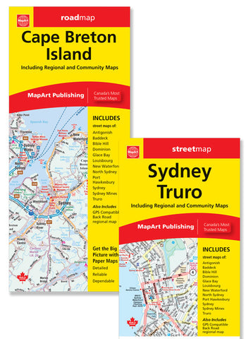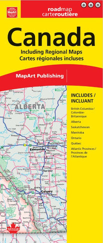
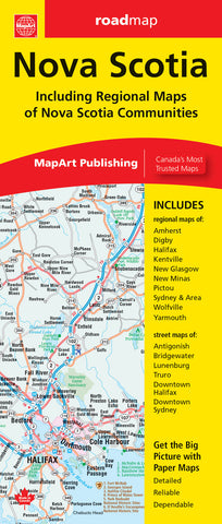
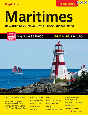
Description:
Includes a national map of Canada at a scale of 1:6,000,000, and regional maps of areas of British Columbia, Alberta, Saskatchewan and Manitoba at 1:1,875,000, Ontario at 1:1,000,000, Québec at 1:1,250,000 and the Atlantic Provinces at 1:900,000. Plus a Canadian Cities Distance Chart. Features on the national map of Canada include Trans-Canada highway, Yellowhead Route, divided highways, toll highways, main highways, main highways gravel, secondary highways, secondary highways gravel, other roads, gravel/seasonal roads, U.S. interstates, international boundaries, provincial/territorial boundaries, state boundaries, time zones, populations, over 250 000, capitals, ferry, ice limits, national parks, provincial parks, wildlife reserves, National Defence and highest provincial points.
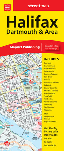
Updated edition 2024
We think you may also like...
-
 $7.95
$7.95 -
 $19.95
 -
 $6.95
$6.95