West Canada, 1851, Tallis
Description:
ORIGINAL ANTIQUE MAP
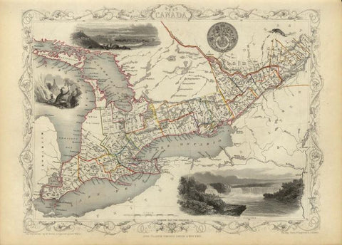
West Canada
Mapmaker / Publisher: Tallis, John
Date: 1851
Size: 14.5" x 11"
A fine steel-engraved map of the region of present-day Ontario / Great Lakes surrounded in a decorative border. The map includes vignettes of Niagara Falls, an Indian encampment, a view of Kingston, the national seal, and a small river otter. The vignettes were drawn by H. Warren and engraved by Robert Wallis; the map is drawn and engraved by John Rapkin. Original outline color.
Certificate of Authenticity is provided.
We think you may also like...
-
 $2,100.00