Description:
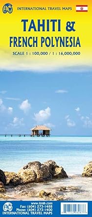
An overall inset map showing the many islands is shown, but for showing detail, one must expand the individual islands. The largest one is the volcanic Tahiti Nui, with the capital city of Papeete (or Papeete in English), for which a detailed inset map is included. The second side of the map covers a part of the world impossible to map well. The region known alternatively as Polynesia and as the South Pacific consists of a vast amount of water, dotted with small islands that are little more than the tips of mountains resting far below the surface. This map shows Hawaii at the upper edge and the northern tip of New Zealand at the bottom. The Queensland coast of Australia is at the far left, and the very isolated Pitcairn Islands at the eastern edge. In between are Cook Islands, Tahiti, Samoa, Fiji, the Solomons, Nauru, Kiribati, Micronesia, and the Marshall Islands.
Updated edition Sept 2024