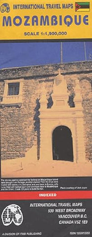
Mozambique Travel Reference Map
Description:
Folded road and travel map. Scale 1:900,000. Distinguishes roads ranging from primary paved roads to other roads/tracks. Legend includes railroads, ferry routes, national parks, international/national airports, airfields, bus stations, train stations, rental car, gas stations, hospitals, campsites, rest houses, lodging, border crossings, points of interest, archaeological sites, museums, missions/churches, mosques, forts, beaches. Includes inset map of Beira and Maputo. Indexed.
Published Jun 2001

