Description:
Authors: Francis J. Manasek, Marti Griggs, Curt Griggs
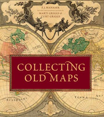
The highly anticipated second edition of Collecting Old Maps is completely revised and expanded with over 400 color illustrations. While maintaining the original approach to the nuts and bolts of map collecting, there is new information on collecting in the digital age, building and disposing of a collection, papermaking history, and the mythological figures, symbols and allegory used in cartography. The most significant change to this new edition is the Map Gallery, which is more comprehensive and profusely illustrated in full color. Nearly 200 maps were assembled to illustrate the five-century evolution of printed maps and how they changed both artistically and technically in response to various cultural and market influences. They illustrate the progression from the simple woodcuts of the incunabula period to the elegant copperplate engravings of Renaissance Italy, then to the Baroque Dutch compositions, the refined style of scientific cartographers, and finally the technically advanced, but sometimes whimsical, approach of 20th-century mapmakers. These maps represent a broad range of geographic regions, cartographic importance, and prices. Rather than focusing on the rare and obscure, these are maps that can be collected today.
Updated edition 2015