Description:
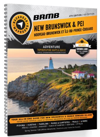
Welcome to the 4th Edition of New Brunswick & Prince Edward Island Backroad Mapbook!
The printed version of the mapbook comes in the convenient 21.5 x 28 cm (8.5 x 11 inch) mapbook format with a heavy-duty spiral-bound cover. Includes 11 Outdoor Adventure sections, a Service Provider Directory, Map and Adventure Index, Trip Planning tools and more. With over 170,000 kilometers of roads to view including the most complete logging and industrial road coverage available, the books are ideal for navigating on road trips and planning from home.
Maps: 66 maps @ 1:200,000
Digital Format Available: Yes, see Digital tab for details.
Map Features: Highways, Logging Roads, Land & Water Features, Parks, Adventure Points of Interest, Campgrounds, Hiking Trails, Motorized Trails, Paddling Routes, Hunting & Fishing Areas, Winter Recreation and more
Areas Covered: Alma, Bathurst, Campbellton, Charlottetown, Dalhousie, Edmundston, Fredericton, Kedgwick, Kensington, Miramichi, Moncton, Port Elgin, Richibucto, Saint John, Souris, Tignish, Woodstock, & more
Updated edition 2023