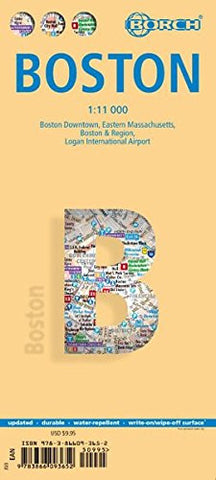
Boston Borch City Map
Description:
Laminated street map in color. Scale 1:11,000. Legend shows places to stay and places of interest, museums, churches, International airport/airfields, beaches, camping sites, harbours, ski areas, subways, historic trails. Includes inset of Eastern Massachusetts (1:600,000), Boston & Region (1:200,000), Logan Int'l. Airport (1:33,000), Boston Subway System. Legend in 5 languages, including English. Climate charts show the average daily temperatures, humidity, hours of sunshine and precipitation for each month.
Updated edition 2018
We think you may also like...
-
 $38.95
 -
 $13.95