Description:
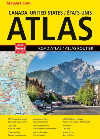
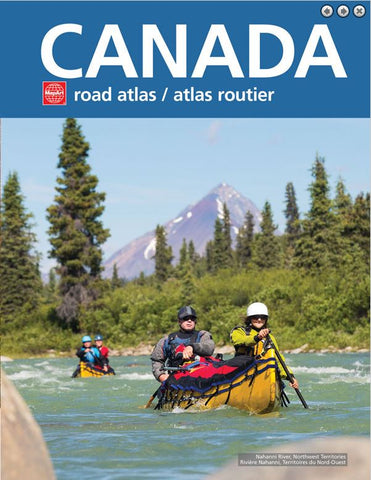
This comprehensive road atlas of Canada covers Canada from coast to coast!
Inside this 128 page atlas you will find a map of Canada, provincial maps of British Columbia, Alberta, Saskatchewan and Manitoba (1:1,500,000), Northern Ontario (1:1,725,000), Southern Ontario (1:800,000), Québec (1:1,052,000/1:500,000), New Brunswick (1:1,052,000/1:600,000), Nova Scotia (1:600,000), Prince Edward Island (1:600,000), Newfoundland and Labrador (1:984,000), Labrador (1:4,450,000), Yukon/Northwest Territories/Nunavut (1:6,500,000). Also included are municipal maps, locator maps, provincial/territorial flags, distance chart and a community index. Bilingual.
The provincial maps features include Trans-Canada Highway, Yellowhead Route, Multi-lane Highways, Toll Highways, Paved and Loose surface Highways, Secondary Highways, Regional / Major Roads, Other Paved surface Roads, Forestry Roads, Interchanges and Exits, Railways, Distance Between Points (km), Ferries, Time Zone Boundaries, International and Provincial Boundaries, Border Crossings, Airports, Hospitals, Tourists, Picnic Sites, Mines, Populations, Capitals, National Defenses, National Parks / Historic Sites, Provincial Parks, Wilderness and Forest Reserves, Glaciers, Downhill Skiing, Campgrounds, Point of Interests and more. Saddle-stitch bound. Proudly made in Canada!