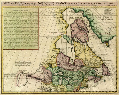
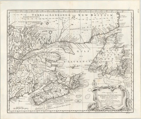
Canada & the Great Lakes, 1718, Châtelain
Description:
SHIPPING IS NOT INCLUDED - Please contact for a quote.
ORIGINAL ANTIQUE MAP
"Carte du Canada ou de la Nouvelle France, & des Découvertes qui y ont Été Faites"
Mapmaker / Publisher: Châtelain, Henri Abraham
Date: 1718
Size: 21" x 18"
Decorative map of Canada and the Great Lakes with coverage of Greenland and parts of the Arctic. An important map in the history of Canada from 'Atlas Historique'; it draws on de L'Isle's famous 1703 map of Canada and is accurate for its time. A box at the top left-hand side has French text detailing the history of the area from Jacques Cartier to the time of publication.
Certificate of Authenticity is provided.
We think you may also like...
-
 $2,100.00
 -
 $1,350.00
 -
 $2,150.00
 -
 $1,595.00


