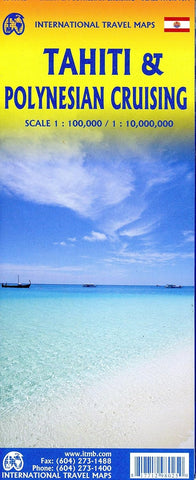
Tahiti & Polynesian Cruising ITM Travel Map 2e
Description:
This map shows the major islands of French Polynesia as a series of large insets on Side 1, with a detailed inset map of the capital city of Pape’ete (or Papeete). Side 2 of the map covers Polynesia; this map shows Hawaii at the upper edge and the northern tip of New Zealand at the bottom. The Queensland coast of Australia is at the far left, and the very isolated Pitcairn Islands at the eastern edge. In between are Cook Islands, Tahiti, Samoa, Fiji, the Solomons, Nauru, Kiribati, Micronesia, and the Marshall Islands.
Updated edition Dec 2022


