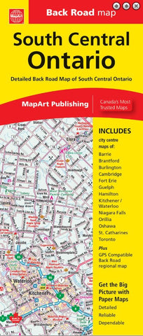
Description:
Folded map of South Central Ontario contains regional back road mapping at 1:250,000, a regional map legend, a community index and a road index. Also included are downtown focused city maps at 1:25,000 including Barrie, Brantford, Burlington, Cambridge, Fort Erie, Guelph, Hamilton, Kitchener/Waterloo, Niagara Falls, Orillia, Oshawa, St. Catharines and Toronto.
Features include expressways, toll routes, exit numbers, highways and roads, service centers, toll bridges, airports, VIA Rail stations, GO Train stations, ferries, railways, tourist information centers, hospitals, rest areas, campgrounds, skiing, hiking, golf, boat launches, marinas, wharfs, lighthouses, UNESCO World Heritage sites, National Historic sites, bird sanctuaries, bird watching, beaches, points of interest, sugar shacks, customs, boundaries, national parks, provincial parks, greenbelts, protected areas, conservation areas, Indian reserves, National Defence, rapids, mines, peaks, waterfalls and more.
Updated edition 2023