New South Wales, Victoria & Tasmania ITM Travel Map 1e
Description:
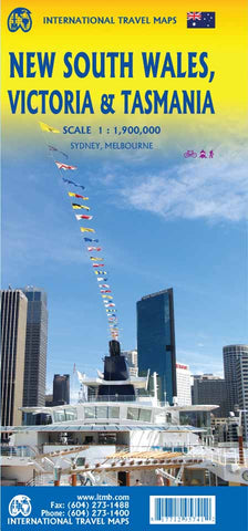
Folded road map of south-eastern part of Australia. This is the most densely-populated part, stretching from Lismore in the northeast to the Tasman Sea in the south. It includes all of New South Wales and Victoria State, with South Australia as far west as Adelaide. It also shows Tasmania, Australia’s only island state, in good detail, as well as Flinders Island and King Island. The map includes two very large inset maps of Melbourne and Sydney. Scale 1:1,900,000
Updated edition Jun 2022