Description:
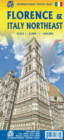
Double-sided folded map * The Florence side covers from the fortress north of the main railway station to south of the Bobolini Park and from the Hippodrome east to the Asics Firenze Sports complex, at an easy-to-use 1:5,000 scale on waterproof paper * Dozens of hotels, restaurants, churches, plazas, statures, and important buildings are noted, as well as quite a few grocery stores, bars, electric bike recharging stations, bus stops, museums, theatres, bike routes, and libraries * The reverse side is a map of much of central Italy; it starts in Trieste and follows the northern border to Milan, then goes down to Genoa and on to Pisa, Siena, Perugia, and Viterbo * Scale 1:600,000 * Motorways are shown in purple, with main roads in red. Top attractions are noted * Legend Includes: Roads by classification, Rivers and Lakes, National Park, Airports, Points of Interests, Highways, Main Roads, Zoos, Fishing, and much more...
Updated edition 2022