Description:
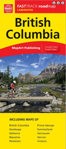
British Columbia FastTrack includes a provincial map of British Columbia at a scale of 1:2,000,000, a community name index, map legend, and regional maps at 1:250,000 of Victoria and Nanaimo, a regional map of Vancouver at 1:275,000, and municipal maps at 1:50,000 of Kamloops, Kelowna, Penticton, Prince George, Summerland and Vernon.
Features include Trans-Canada Highway, Yellowhead Route, highways and roads, distances between points (km), border crossings, airports, hospitals, visitor information centers, rest areas, built up areas, Indian Reserves, National Defence, international boundaries, provincial boundaries, populated places, capitals, national parks/historic sites, provincial parks/recreation areas, wilderness/protected areas, forest reserves, icefields, campgrounds, ski areas, points of interest and more.
Updated edition 2023