Atlantic Canada MapArt Map
Description:
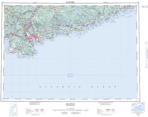
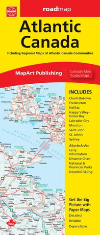
The Atlantic Canada folded map includes provincial maps of Newfoundland (1:1,400,000), Atlantic Canada (New Brunswick, Nova Scotia, Prince Edward Island, Gaspé Peninsula) at 1:800,000, Eastern Canada (1:4,500,000). Regional maps included are Charlottetown (1:90,000), Fredericton (1:100,000), Halifax (1:250,000), Happy Valley (1:52,000), Goose Bay (1:52,000), Labrador City (1:40,000), Moncton (1:100,000), Saint John (1:140,000), St. John’s (1:55,000), Sydney (1:100,000) as well as ferry Information and a distance chart.
Updated edition 2023