Prince Edward Island MapArt Map
Description:
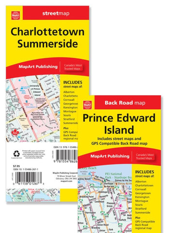
The folded map of Prince Edward Island / Charlottetown, Summerside includes detailed city mapping at 1:25,000 of Alberton, Charlottetown, Cornwall, Georgetown, Kensington, Montague, Souris, Stratford and Summerside, street indexes of each community, legend and a regional map of Prince Edward Island at 1:200,000 along with a community name index, legend, Prince Edward Island ferry information and bridge information.
Updated edition 2024
We think you may also like...
-
 $22.99