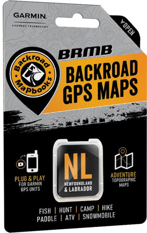
Newfoundland & Labrador Backroad GPS Maps
Description:
- Combining day-to-day navigation with enhanced outdoor recreation information, this product combines all of Newfoundland and Labrador into one Backroad GPS Map.
- Over 39,000 km of our backroads network combined into one map, including over 20,000 km of routable roads.
- Marked Cariboo Management Areas (CMA) and Moose Management Areas (MMA) for hunters.
- Address Search tool makes navigating easier than ever.
- Thousands of kilometres of ATV Trails, snowmobile routes, multi-use hiking, biking and cross-country skiing trails and paddling routes, with marked trailheads and access points/portages.
- Thousands of fishing hotspots, parks and conservation areas, campsites, hunting areas, winter recreation areas and more.
- Over 25,000 land and water geographic features.
- Enhanced cartography for improved display of parks, conservation areas, creeks and activity Points of Interest.
- Improved snowmobile route lines, First Nations reserve coverage and railway corridor mile markers.
Released: 2021
Dimensions: Micro-SD Card
Map Scale: 1:50,000 scale TOPO Maps
Regional Cities/Parks: Province of Newfoundland & Labrador
We think you may also like...
-
 $20.00
 -
 $20.00