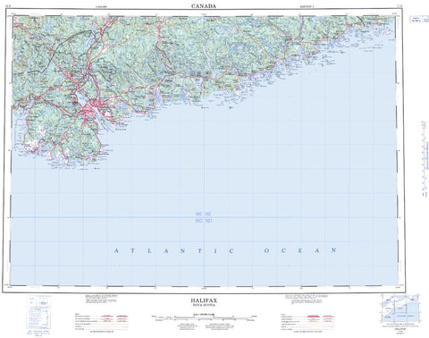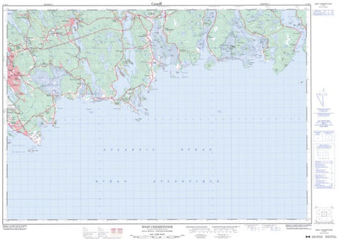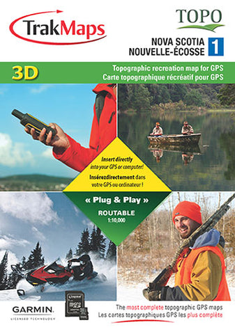
Nova Scotia Topographic Maps for GPS
Description:
- Complete coverage of Nova Scotia at 1:10,000
- 3D digital elevation model
- Topographic data including mountains, hills, valleys, lakes, rivers, streams, wetlands, forest zones
- Buildings, pylons, electric lines, bridges, dams, railroads, other reference points and landmarks
- Routable road network
- 54,000+ km of routable forestry roads
- 620+ km of trails
- Cellular towers
- Moose and Deer Management Zones
- Nature Conservancy Canada lands
- Wildlife reserves
- National, provincial, municipal parks
- Detailed shorelines of all lakes and rivers, rock locations
- Launch ramps and marinas
- Campsites and picnic areas
- 3,000+ POIs including gas stations, lodging, restaurants and ATMs