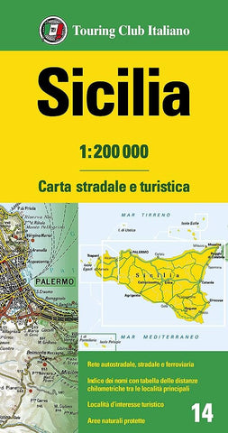
Description:
Folded road map of Sicily at scale 1:200 000. Road network is presented in great detail, from motorways to dirt tracks. Minor roads are very clear and easy to read and, where necessary, are drawn without generalizing their course, showing the twists and turns across the mountainous terrain. Steep roads are annotated with three levels of gradient markings. Scenic routes are highlighted. Motorways have the usual features such as toll barriers, services, etc.
Railway network shows stations and level crossings and, where appropriate, ferry routes are marked. Towns and villages of particular interest are highlighted, with symbols indicating various monuments, castes, churches, etc. In mountainous areas refuges, cable car lines, chair lifts, etc. are marked. The maps have no geographical co-ordinates. Each title has an extensive index and a distance table on the reverse.
Map legend in Italian, German, French, Spanish and English.
Updated edition Apr 2024